понедельник, 20 мая 2024 г.

Борьба за открытые данные в строительной отрасли. История появления AUTOLISP, SDK, intelliCAD, openDWG, ODA, openCASCADE

 Борьба за данные или совместная коллаборация Nemetschek и Autodesk в продвижение открытых рабочих процессов? 

Апрель 2024 года ознаменовался особым событием для строительной отрасли: два ведущих производителя CAD (BIM) систем, чьи инструменты используются для создания значительной части документации по строительным проектам, объявили в совместном коммюнике о начале продвижения открытых и совместимых рабочих процессов на протяжении всего жизненного цикла здания:
читать далее

воскресенье, 5 мая 2024 г.

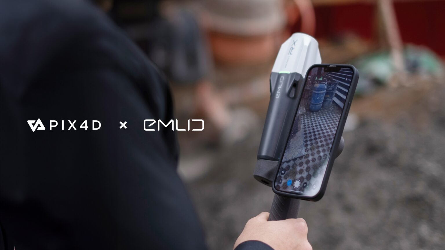
Emlid and Pix4D Launch Mobile Terrestrial Scanning Kit to Accelerate Data Capture

Emlid, the EU-based manufacturer of Reach GNSS receivers, announces the launch of the Pix4D & Emlid Scanning kit. The kit combines advanced photogrammetry with RTK precision for quick data capture when documenting trenches and as-builts, performing volumetric measurements, and enriching aerial data with terrestrial scans. All this by using a smartphone, the PIX4Dcatch app, and the Emlid Reach RX RTK rover.

Read more... 


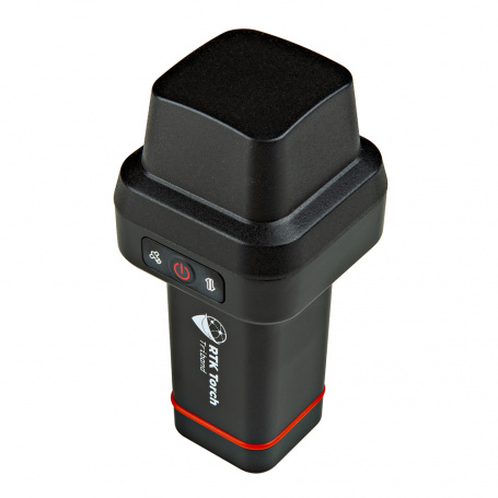
SparkFun RTK Torch

The SparkFun RTK Torch is your one-stop shop for high-precision geolocation and GIS needs.
This device can be used in a variety of modes but these are six of the most common:
  • GNSS Positioning (~400mm accuracy) - also known as 'Rover'
  • GNSS Positioning with RTK (8mm accuracy) - using a local base station
  • GNSS Positioning with PPP-RTK (14 to 60mm accuracy) - using PointPerfect corrections
  • GNSS Positioning with Tilt Compensation
  • GNSS Base Station
  • GNSS Base Station NTRIP Server