Показаны сообщения с ярлыком gnss. Показать все сообщения

воскресенье, 5 мая 2024 г.

Emlid and Pix4D Launch Mobile Terrestrial Scanning Kit to Accelerate Data Capture

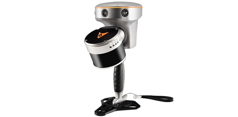
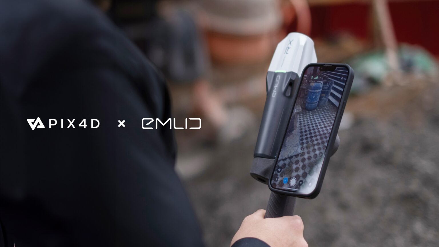
Emlid, the EU-based manufacturer of Reach GNSS receivers, announces the launch of the Pix4D & Emlid Scanning kit. The kit combines advanced photogrammetry with RTK precision for quick data capture when documenting trenches and as-builts, performing volumetric measurements, and enriching aerial data with terrestrial scans. All this by using a smartphone, the PIX4Dcatch app, and the Emlid Reach RX RTK rover.

Read more... 


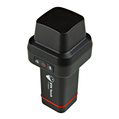
SparkFun RTK Torch

The SparkFun RTK Torch is your one-stop shop for high-precision geolocation and GIS needs.
This device can be used in a variety of modes but these are six of the most common:
  • GNSS Positioning (~400mm accuracy) - also known as 'Rover'
  • GNSS Positioning with RTK (8mm accuracy) - using a local base station
  • GNSS Positioning with PPP-RTK (14 to 60mm accuracy) - using PointPerfect corrections
  • GNSS Positioning with Tilt Compensation
  • GNSS Base Station
  • GNSS Base Station NTRIP Server


среда, 27 марта 2024 г.

понедельник, 26 декабря 2022 г.

Trimble R12i GNSS System Frequently Asked Questions

What is the difference between the new Trimble TIP technology and the legacy Trimble SurePoint tilt compensation technology found in the Trimble R10 and R12?

Trimble® TIP™ technology uses an Inertial Measurement Unit (IMU) comprised of three accelerometers and three gyroscopes to provide the necessary information for the positioning engine to precisely determine the attitude of the rover, allowing the tilt heading and thus the position of the pole tip to be computed in real time.

On the other hand, Trimble SurePoint™ technology, first introduced in the Trimble R10, uses a magnetometer to determine the tilt heading. Because the heading provided by the magnetometer depends on an accurate global model of the earth's magnetic field, and because the sensor itself is susceptible to local sources of magnetic interference which can render it unusable, the achievable tilt angle is less (15°), compensated points cannot be measured in all instances, and the system must remain static when measuring a compensated point. It is therefore also not possible to use Trimble SurePoint technology for stakeout, whereas Trimble TIP technology doesn't require the system to remain static and is therefore suitable for both measurement and stakeout workflows.

Finally, because Trimble TIP technology uses sensor data to automatically align the IMU to the GNSS reference frame in the field, it is not necessary to perform specific steps to calibrate the sensors, as is the case with the Trimble R10 and Trimble SurePoint technology. 

Read more...
воскресенье, 16 января 2022 г.

High-rate RTK: Helpful or hypeful?


Approaches to providing real-time kinematic (RTK) solutions at high rates have existed in various forms for decades, providing value for high precision applications. This technique is nearly universally adopted in the industry, and many surveyors may have been using it for years without realizing it. Yet there are persistent misconceptions about the subject.

By Gavin Schrock, PLS

For many on the development side of high-precision real-time kinematic (RTK) GNSS, like those we interviewed for this article, the incorporation of high-rate solutions into their RTK products is a given — and has been for a very long time. Yet, in some end-user communities there may still be many question marks: Does my gear do it? Does other gear do it? What can it do for me? What are the pluses and minuses?

понедельник, 1 февраля 2021 г.

RTK приёмник за 399 $ - SparkFun RTK Surveyor

The SparkFun RTK Surveyor is an easy to use GNSS receiver for centimeter-level positioning. Perfect for surveying, this preprogrammed device can also be used for autonomous driving, navigation, asset tracking and any other application where there is a clear view of the sky. The RTK Surveyor can also be used as a base station. With the flick of a switch, two RTK Surveyors can be used to create an RTK system capable of 14mm horizontal positional accuracy. The built-in Bluetooth connection via an ESP32 WROOM enables the user to use the RTK Surveyor with their choice of GIS application on a phone or tablet. The built in battery allows field use for up to four hours and is compatible with common USB battery banks.


This device can be used in four modes:

GNSS Positioning (~30cm accuracy)
GNSS Positioning with RTK (1.4cm accuracy)
GNSS Base Station
GNSS Base Station NTRIP Server


вторник, 28 апреля 2020 г.

Что такое "высота" на самом деле?

Отличная и, что главное, не очень большая по размеру статья про то что мы имеем ввиду когда говорим "высота".
Разбита на четыре основных части. Полезна к вдумчивому чтению для понимания что же измеряется на самом деле разными геодезическими приборами.


П.С. Лично мне забавно некое совпадение что в СССР темой геоида занимался Молоденский, а в США Zilkoski.

воскресенье, 18 августа 2019 г.

Dual-Frequency GNSS – An important location feature your phone is probably missing


It’s not something you often think about, but location services are probably one of the most-used features on your smartphone. A multitude of apps—from Pokémon GO to Snapchat—rely on your location to personalize your experience and provide you with more features. Of course, this goes beyond just casual app usage. Accurate location is everything when you’re driving around a big city looking for a parking space. Unfortunately, when it comes to the vast majority of modern devices, accurate location is not something you can be 100% sure of.

Single vs. Dual-Frequency GNSS
Your phone determines its position by listening to radio signals from satellites in outer space, or Global Satellite Navigation Systems (GNSS). The norm in today’s smartphone market is single-frequency GNSS. In essence, what this means is that your smartphone tracks a single radio signal from each satellite. However, single-frequency GNSS is prone to multipath errors. Multipath errors occur when a signal bounces off of large objects such as buildings, resulting in multiple “echo” signals reaching the device. This can result in inaccuracies of around 5 meters. In real-world terms, what this means is that in big cities, your mapping app may not be able to tell exactly which street you’re on. While better quality antennae can be more accurate, it’s common for your phone to report incorrect locations in built-up areas due to multipath errors.

So how does dual-frequency GNSS rectify this issue? The short answer is two is better than one. Instead of relying on just one signal to determine your location, devices track more than one signal from each satellite, each on a different radio frequency. For Americans with the GPS systems, the frequencies are called L1 and L5. For Europeans with the Galileo satellites, the frequencies are called E1 and E5a. While most current devices only use the L1/E1 frequency, dual-frequency-enabled devices make use of both. The L5/E5a signals are more advanced, and thus less prone to multipath errors. They can be used to refine position accuracy to as low as 30cm (versus the 5m mentioned earlier).


вторник, 13 августа 2019 г.

FieldGenius for Android™

New technology opens new opportunities to develop better tools for use in the survey industry. FieldGenius for Android™ extends MicroSurvey’s mission to provide a brand neutral solution with drivers to support most common hardware available in the market today.


четверг, 24 января 2019 г.

Skycatch High Precision Package

Skycatch High Precision Package


Maps & Point Clouds in 30 Minutes
High-speed processing delivers your data in localized coordinates, with the fastest turnaround time on the market. No uploadingtime on the market. No uploading
GPS Base Station Included
Serves as a dedicated RTK base station and processes your drone data in the field, even without internet connection.
Precision
Get the most out of your drone program by flying daily without wasting time maintaining or marking GCPs.


пятница, 21 декабря 2018 г.

First detection of rain over the ocean by navigation satellites

In order to analyse climate change or provide information on natural hazards, for example, it is important for researchers to gather knowledge about rain. Better knowledge of precipitation and its distribution could, for example, help protect against river flooding. On land, monitoring stations can provide data by collecting precipitation. At sea, it's not so easy.

среда, 19 сентября 2018 г.

DT Research’s newest tablet provides scientific-grade GNSS

DT Research has announced the DT372AP-TR rugged RTK tablet, a lightweight military-grade tablet that  offers real-time kinematic (RTK) to enhance the precision of position data derived from satellite-based positioning systems.
The tablet enables 3D point cloud creation with centimeter-level accuracy to meet the high standards required for scientific-grade evidence in court.


пятница, 22 сентября 2017 г.

Двухчастотный "сантиметровый" гнсс чип для мобильных устройств