На данный момент из ТопоРег растры идут в формате GeoTIFF - т.е. координаты "привязки" "зашиты" в сам растр.
При вставке такой растр иногда некорректно считывает единицы чертежа и растр "улетает"
Что нужно сделать:
На данный момент из ТопоРег растры идут в формате GeoTIFF - т.е. координаты "привязки" "зашиты" в сам растр.
При вставке такой растр иногда некорректно считывает единицы чертежа и растр "улетает"
Что нужно сделать:

Zonele de transformare a inaltimilor (cotelor) utilizate in mun. Chisinau din H_eliposidal in H_baltic (local)

Transformarea (transcalculul) poate fi facuta cu ajutorul aplicatie AuTPro pentru MapInfo 8.0+
Разграфка на планшеты 1:500 с сеткой координат в СК МолдРеф99


Scanare laser terestra a conacului Contacuzino.
Măsurătorile în teren au fost efectuate cu echipament CHC RS10. Prelucrarea a fost efectuată în CHCNAV CoPre, Trimble Business Center. Point cloud obținut este exportat în Autodesk RECAP project.
Наземное лазерное сканирование усадьбы Контакузино
Полевые измерения выполнены оборудованием CHC RS10. Обработка была выполнена в ПО CHCNAV CoPre, Trimble Business Center. Полученное облако точек экспортировано в проект Autodesk RECAP


Борьба за данные или совместная коллаборация Nemetschek и Autodesk в продвижение открытых рабочих процессов?
Апрель 2024 года ознаменовался особым событием для строительной отрасли: два ведущих производителя CAD (BIM) систем, чьи инструменты используются для создания значительной части документации по строительным проектам, объявили в совместном коммюнике о начале продвижения открытых и совместимых рабочих процессов на протяжении всего жизненного цикла здания:
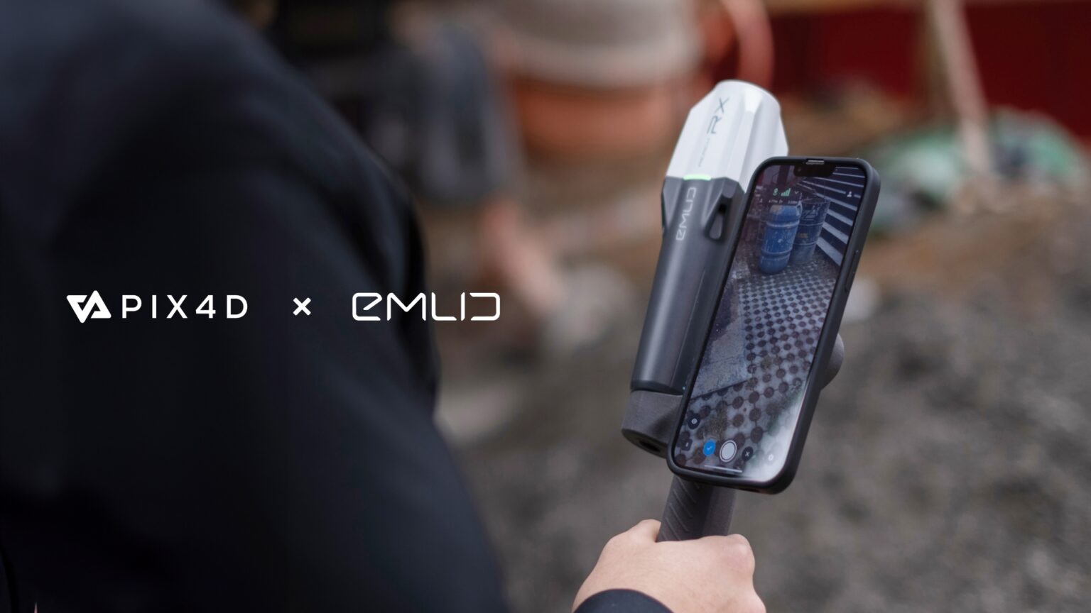
Emlid, the EU-based manufacturer of Reach GNSS receivers, announces the launch of the Pix4D & Emlid Scanning kit. The kit combines advanced photogrammetry with RTK precision for quick data capture when documenting trenches and as-builts, performing volumetric measurements, and enriching aerial data with terrestrial scans. All this by using a smartphone, the PIX4Dcatch app, and the Emlid Reach RX RTK rover.
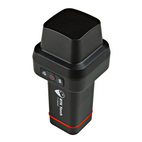
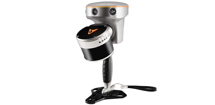
CHC Navigation (CHCNAV) has released the RS10 handheld SLAM lidar laser scanner integrated with a full real-time kinematics (RTK) GNSS receiver.
In octombrie 2023 a fost efectuată scanare laser terestră a blocului nr.1 Universității Tehnice a Moldovei din bd. Stefan cel Mare si Sfânt 168 din mun. Chișinău. Lucrarea era executată în cadrul tezei de master a ing. Maxim Covalciuc. Scanarea era efectuată cu aparat Leica BLK 360 G1 și prelucrată in soft Leica Cyclone Register 360. Au fost in total 53 stații de scanare pentru subsol, sala, parter, încăperi auxiliare și acoperiș. Rezoluția scanării și calitatea imaginilor era setată la maximum. Precizia medie a setului de date este estimata la 0,006m. Point cloud obținut este exportat in formatele RCP, E57 și LGS.
Proiectul poate fi descărcat \ Проект можно скачать
В октябре 2023 было выполнено наземное лазерное сканирование первого корпуса Технического Университета Молдовы по бул. Штефана чел Маре 168 в мун. Кишиневе. Работа была выполнена в рамках магистерской работы инж. Максима Ковальчука. Сканирование было произведено аппаратом Leica BLK 360 G1 и обработано ПО Leica Cyclone Register 360. Всего было 53 станции сканирования в подвале, партере, вспомогательных помещениях и чердаке. Было использовано максимальное разрешение и качество панорамных изображений. Средняя точность набора данных оценена в 0,006 м. Облако точек было экспортировано в форматы RCP, E57 și LGS. Проект доступен для скачивания в полном объеме по ссылкам выше.


Greater London has become the first part of the country in which all major utilities providers and local authorities are providing data for the National Underground Asset Register (NUAR).

The Greater London Authority (GLA), which is part of the NUAR delivery team, said it has brought over 60 asset owners in the city onto using the register, providing records of over 16 million assets.
The early version of register was formally launched by the Geospatial Commission in April. It is a digital map providing details of underground cables and pipes, being rolled out around the UK to support the installation of further infrastructure.
In the year 2021 I was involved into creation of water and sewer GIS map for the mun. Strășeni.
QGIS software and shape file were adopted as a standard for the map. Line map 2017 and orthophoto 2020 was set as a base map for the water and sewery map. National coordinate system MOLDREF99 and Baltic 1977 was set up for the project.
At that moment only map data were on paper - cadaster map printed at scale approximatively 1:4000 with hand drawn water lines. This situation happened because of rehabilitation of water system in mun. Strășeni in 2000s was done without creation of as built documentation.


What is the difference between the new Trimble TIP technology and the legacy Trimble SurePoint tilt compensation technology found in the Trimble R10 and R12?
Trimble® TIP™ technology uses an Inertial Measurement Unit (IMU) comprised of three accelerometers and three gyroscopes to provide the necessary information for the positioning engine to precisely determine the attitude of the rover, allowing the tilt heading and thus the position of the pole tip to be computed in real time.
On the other hand, Trimble SurePoint™ technology, first introduced in the Trimble R10, uses a magnetometer to determine the tilt heading. Because the heading provided by the magnetometer depends on an accurate global model of the earth's magnetic field, and because the sensor itself is susceptible to local sources of magnetic interference which can render it unusable, the achievable tilt angle is less (15°), compensated points cannot be measured in all instances, and the system must remain static when measuring a compensated point. It is therefore also not possible to use Trimble SurePoint technology for stakeout, whereas Trimble TIP technology doesn't require the system to remain static and is therefore suitable for both measurement and stakeout workflows.
Finally, because Trimble TIP technology uses sensor data to automatically align the IMU to the GNSS reference frame in the field, it is not necessary to perform specific steps to calibrate the sensors, as is the case with the Trimble R10 and Trimble SurePoint technology.
https://opensourceoptions.com/blog/how-to-add-google-satellite-imagery-and-google-maps-to-qgis/
| Product | URL |
| Google Maps | https://mt1.google.com/vt/lyrs=r&x={x}&y={y}&z={z} |
| Google Satellite | https://www.google.cn/maps/vt?lyrs=s@189&gl=cn&x={x}&y={y}&z={z} |
| Google Satellite Hybrid | https://mt1.google.com/vt/lyrs=y&x={x}&y={y}&z={z} |
| Google Terrain | https://mt1.google.com/vt/lyrs=t&x={x}&y={y}&z={z} |
| Google Roads | https://mt1.google.com/vt/lyrs=h&x={x}&y={y}&z={z} |

По ссылке Условные знаки для GeoniCS 2013/2015 v3 + шаблон можно скачать обновлённые УЗ и шаблон
Что было сделано в библиотеке УЗ:

Вот только узнал что оказывается поляки уже пару лет как выложили в открытый доступ на своем геопортале инженерные сети на всю страну.
Чтобы отображались сети нужно поставить галочку "Integration of utilities network"

Leica BLK2GO это очень компактный мобильный лазерный сканер, работающий на основе технологии SLAM (Simultaneous Localization And Мapping) или последовательного построения карты пространства по мере перемещения прибора.

Все узлы прибора (сканирующая головка, инерциальная система, камеры, элементы питания, органы управления) находятся внутри корпуса прибора. Такой форм-фактор делает сканер очень компактным. Полное отсутствие проводов позволяет свободно перемещаться по загруженным помещениям без опасения за что-то зацепиться.
Сканер имеет 3 панорамные камеры. Они используются как для захвата фотографий для раскрашивания облака, так и как часть инерциальной системы для помощи SLAM.
Помимо визуальной инерциальной системы (VIS) сканер оснащен классической инерциальной системой (IMU).
Наличие трех методов позиционирования прибора в пространстве (SLAM + VIS + IMU) позволяет значительно увеличить точность получения финального облака.


