среда, 9 января 2019 г.
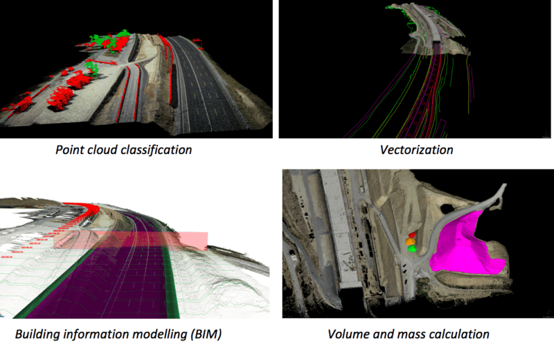
NEXT GENERATION MAPPING – SAVING TIME IN CONSTRUCTION SURVEYING WITH DRONES
STRABAG Deploys the Phantom 4 RTK for Construction Surveying to Create Precise 3D Models

пятница, 21 декабря 2018 г.
First detection of rain over the ocean by navigation satellites
In order to analyse climate change or provide information on natural hazards, for example, it is important for researchers to gather knowledge about rain. Better knowledge of precipitation and its distribution could, for example, help protect against river flooding. On land, monitoring stations can provide data by collecting precipitation. At sea, it's not so easy.

среда, 12 декабря 2018 г.
Space technology allows precise navigation without GNSS
The German Aerospace research center DLR developed an optical navigation and inspection system for use in environments where position determination is not possible via a satellite navigation system such as GPS or Galileo. The Integrated Positioning System (IPS) can accurately determine one's own position without additional "prior knowledge" of the environment and without external reference points. Originally developed for missions in outer space, the scientists also see possible applications in tunnels, mines or industrial facilities, for example.

воскресенье, 14 октября 2018 г.
Google's BigQuery Brings GIS Into The Petascale Era
Perhaps the greatest challenge confronting today’s “big data” era lies not the acquisition of data, but rather how companies can uncover insights from the chaos of petabytes. Today’s companies have assembled breathtakingly large archives of incredibly rich data but struggle to perform more than basic analyses at scale. This is especially true when it comes to reasoning in terms of the more complex dimensions like time and space. As the world’s data is increasingly geospatially enriched and as companies increasingly need to understand their data in terms of its physical location, we need tools that can query, analyze and reason about immense geospatial data at population scale. Enter Google’s new BigQuery GIS.
Read more...

вторник, 2 октября 2018 г.
Converting a Drawings Coordinate System
For one reason or another drawings sometimes need to be moved from one coordinate system (datum) to another. A classic example may be moving from a NAD 27 datum to a NAD 83. Whatever the case may be, how might one perform this translation as accurately as possible?
Read more...
Read more...
понедельник, 1 октября 2018 г.
SCAN&GO DRIVE SferaZERO
SCAN&GO DRIVE SferaZERO is a ”STOP AND GO” system for the Topographic survey with 3D Laser scanner and two GNSS receivers.

Подписаться на:
Сообщения (Atom)