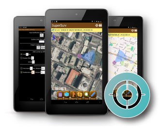
ГП "Проектный Институт по Землеустройству" запустил геопортал почв Молдовы. Лично я узнал об этом совсем недавно. Радует что есть информация и в открытом доступе. Всем кто приложил усилия для это события мои поздравления и уважение.
понедельник, 26 июня 2017 г.
воскресенье, 4 июня 2017 г.
Galileo boosts GNSS corrections services
Trimble’s RTX-based correction services now support the Galileo constellation. As a true five-constellation technology that uses GPS, GLONASS, BeiDou, QZSS and now Galileo satellites, Trimble RTX delivers improved real-time positioning performance to its users worldwide.
http://gpsworld.com/galileo-boosts-gnss-corrections-services/
суббота, 20 мая 2017 г.
пятница, 12 мая 2017 г.
четверг, 4 мая 2017 г.
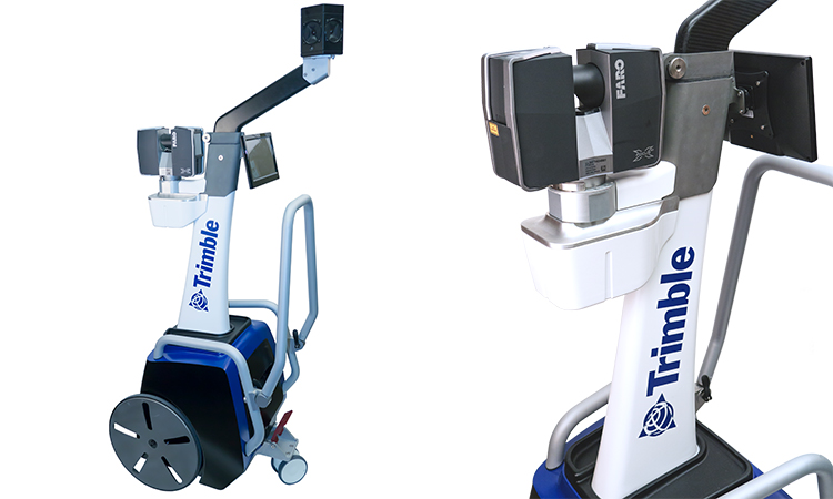
TIMMS INDOOR MAPPING
TIMMS provides both LiDAR and spherical video, enabling the creation of accurate, real-life representations (maps, models) of interior spaces and all of its contents; every object in the interior space - including desks, chairs, stairs, and doors - appear in the plan. The maps are geo-located, meaning that the real world positions of each area of the building and its contents are known.
пятница, 10 марта 2017 г.
Sensor role reversal: How lidar can replace GNSS for navigation
Airborne lidar/INS/GNSS: Algorithm Uses Fuzzy Controlled Scale Invariant Feature Transform
Sensor role reversal: Lidar with its superior performance can replace GNSS in the integration solution by providing fixes for the drifting inertial measurement unit (IMU). Tests show its potential for terrain-referenced navigation due to its high accuracy, resolution, update rate and anti-jamming abilities. A novel algorithm uses scanning lidar ranging data and a reference database to calculate the navigation solution of the platform and then further fuse with the inertial navigation system (INS) output data.
четверг, 16 февраля 2017 г.
Подписаться на:
Сообщения (Atom)